Santa Barbara, California area

Labyrinths & Facilitators

Click on: purple dots for labyrinth locations (geo-tagged maps),

pink dots for labyrinth information,

green dots for facilitator information, and


               For additional locations of labyrinths, search:

THE WORLDWIDE LABYRINTH LOCATOR


Please,

be respectful of

private property and

land-owners.

To return to U.S. map, CLICK HERE


Click Here

for

Los Angeles

area map

To return to Southern California state map, CLICK HERE

To return to Northern California state map, CLICK HERE
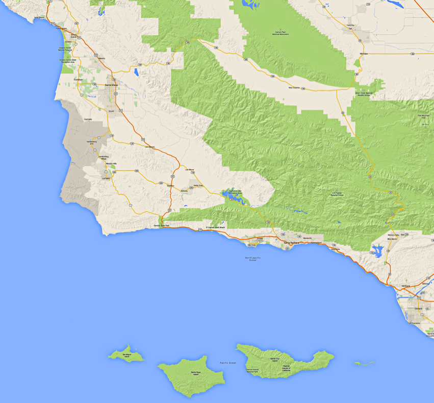

Click Here

for

Riverside

area map


Click Here

for

San Diego

area map

(placeholder)
(placeholder)
(placeholder)
(placeholder)
(placeholder)
(placeholder)
(placeholder)
(placeholder)
(placeholder)
(placeholder)
(placeholder)
(placeholder)
(placeholder)
(placeholder)
(placeholder)
(placeholder)

Pismo Beach

Los Olivos

Santa Maria

(placeholder)
(placeholder)

Lompoc

Solvang

(placeholder)
(placeholder)

Santa Barbara

Oxnard

Ventura

(placeholder)
(placeholder)
(placeholder)
(placeholder)